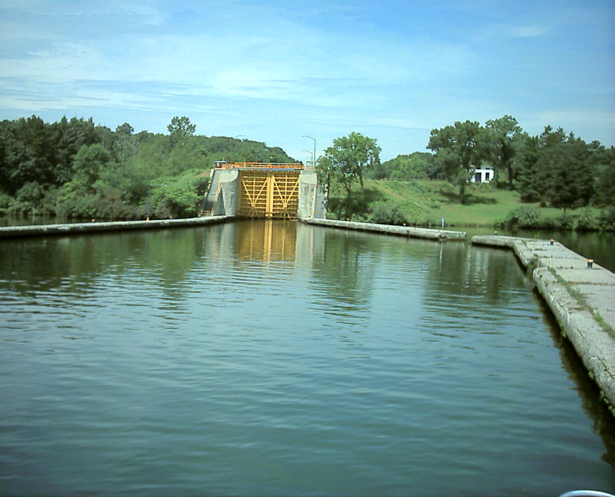
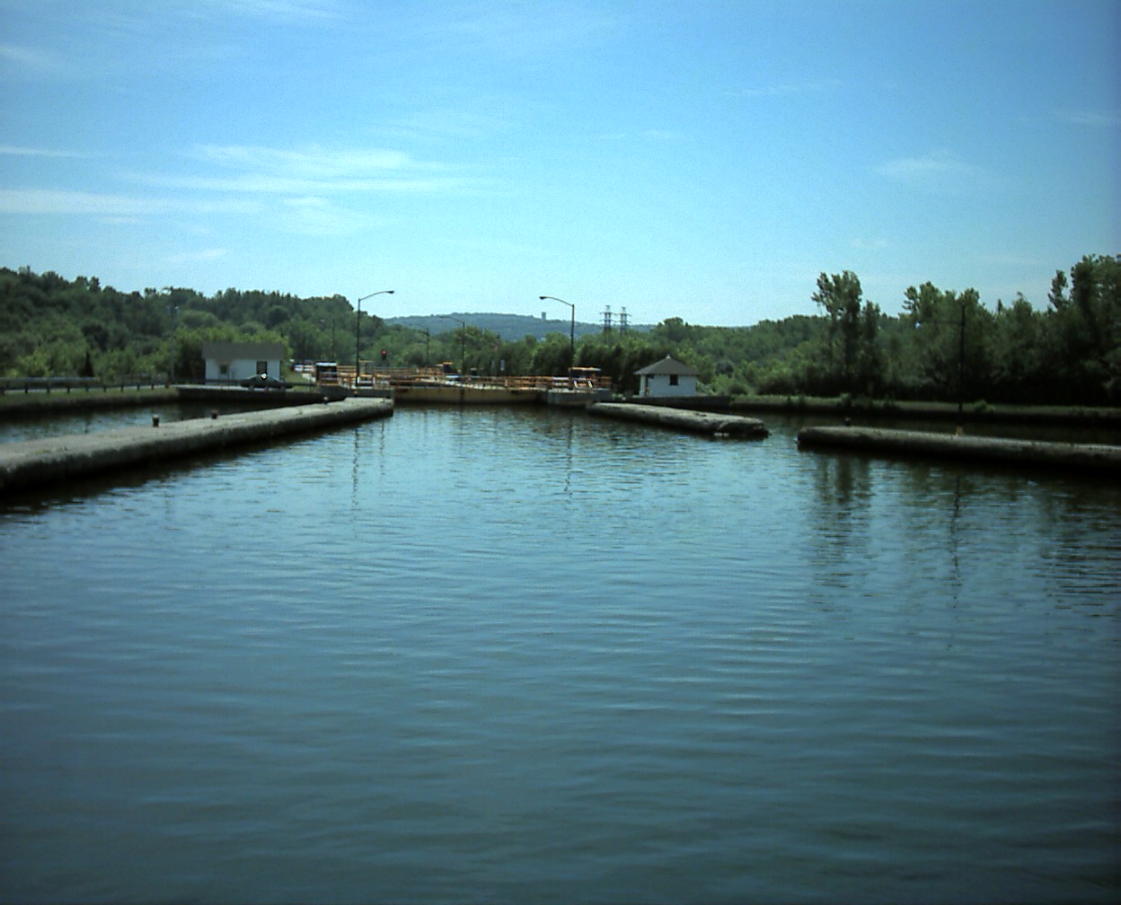
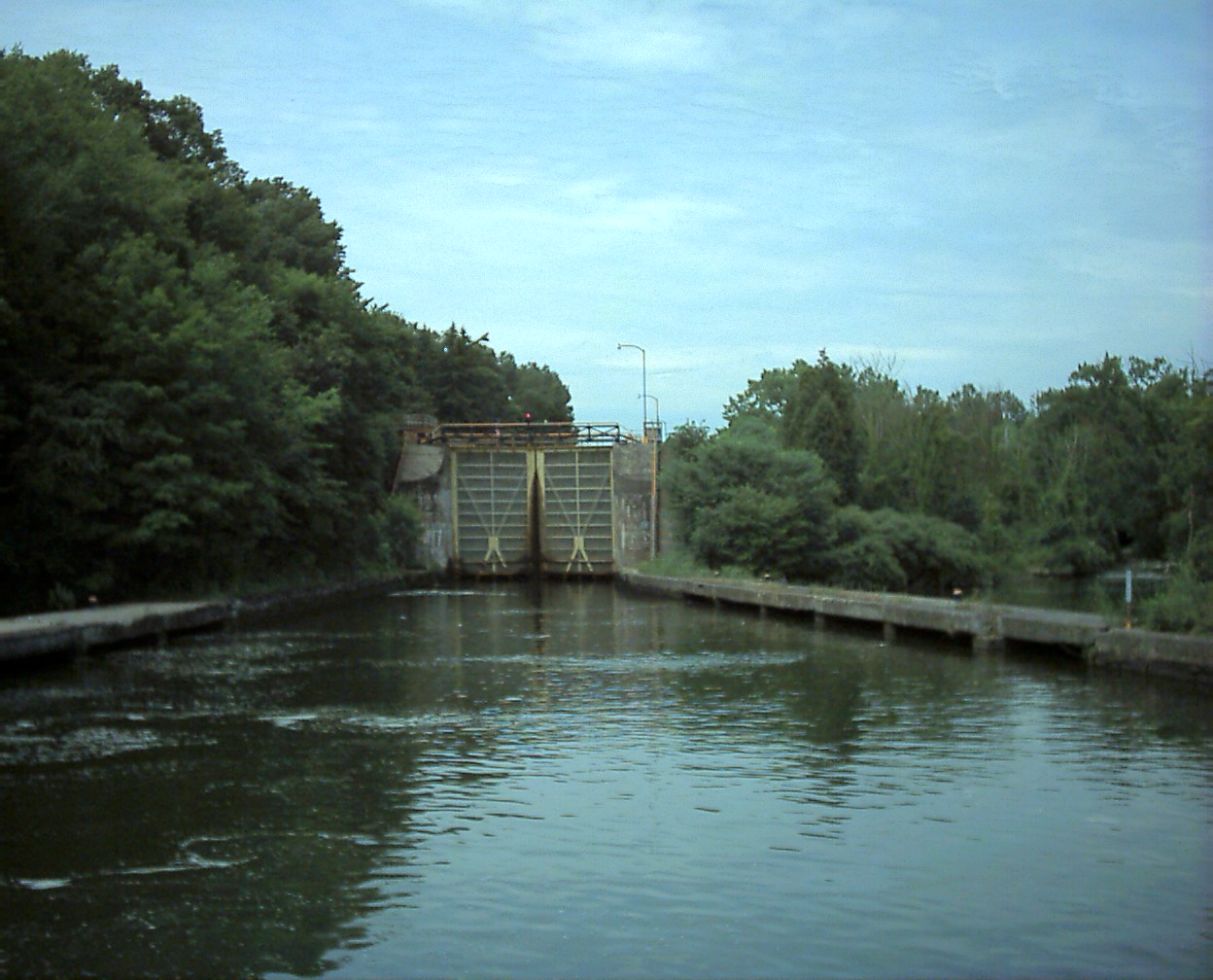
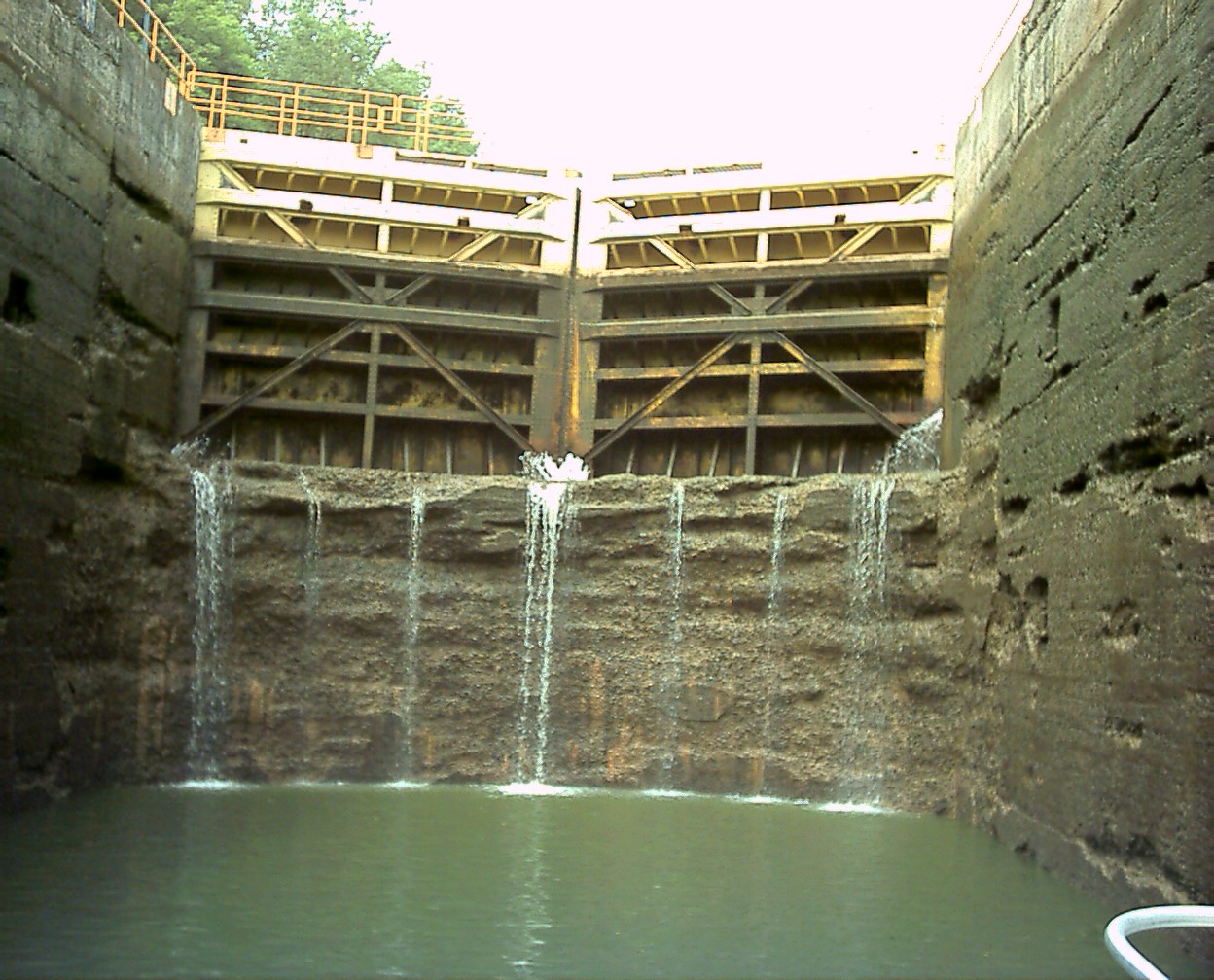
From John's commentary, the Waterford Flight consists of 5 locks that replaced 16 on the original canal. It's the highest series of lift locks in the world, raising you 169 feet in 1.5 miles, around the Cohoes Falls.
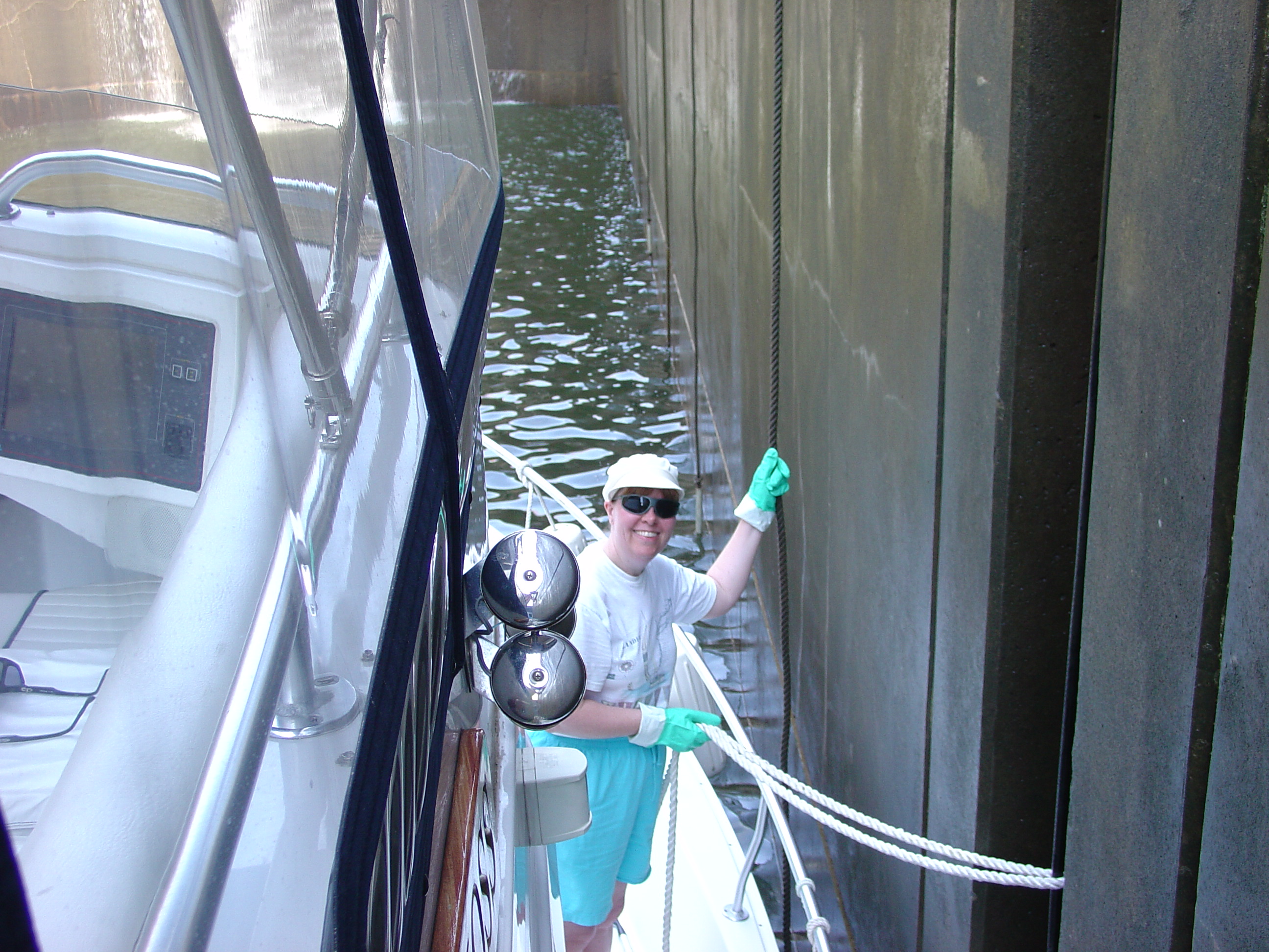
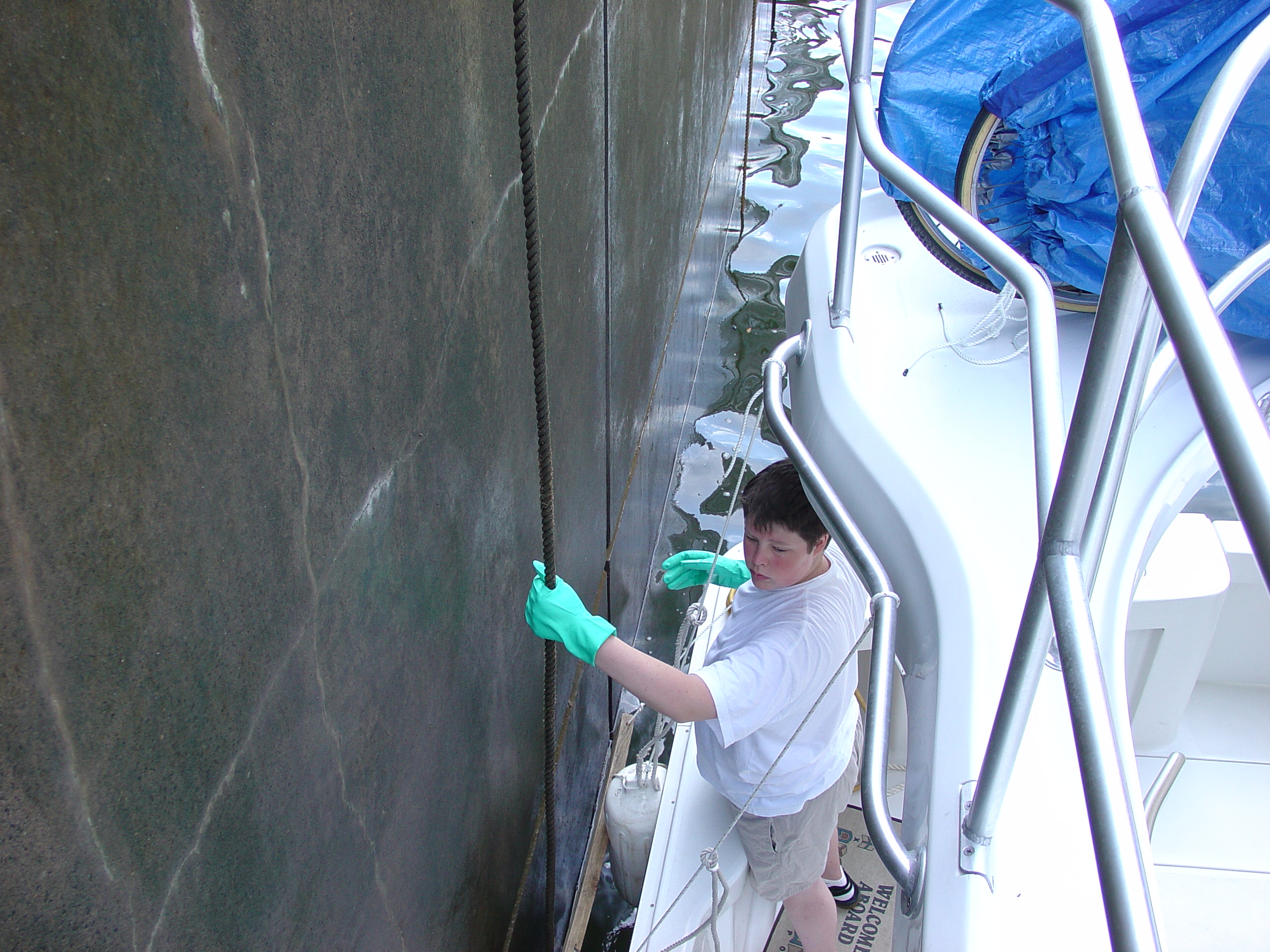
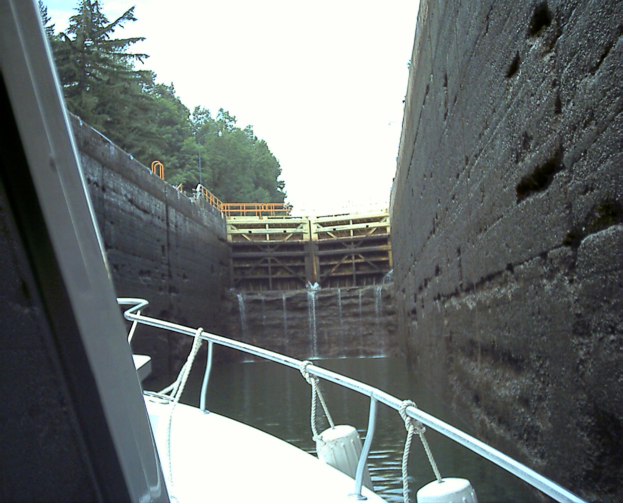
When locking, it's quite useful to have a set of waterproof gloves to hold on to slimy ropes. Notice also the fenders on the side of the boat and the 2x6x5 fender boards on the outside of the fenders. The boards slide very nicely on the slime on the side of the smooth lock walls. The fender boards have holes drilled from top to bottom about 1 foot in from the ends and a line from the top of the fender loops through these holes to the bottom of the fender to insure they stay behind the board and don't slip out.
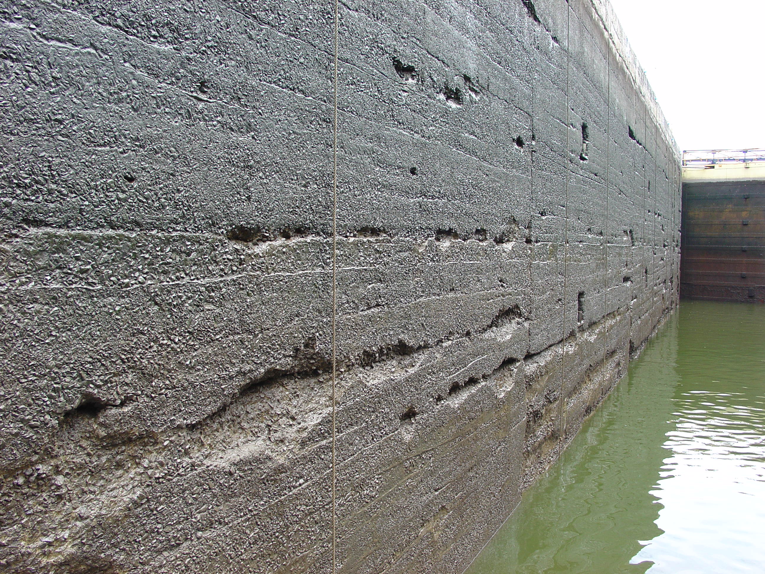
Not all walls are smooth and they have to be watched more closely.
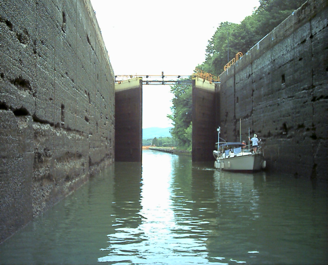
Through boats often follow each other through the canals. The sailing vessel "Pot Luck" in the pictures appeared at various stops during the rest of our trip.

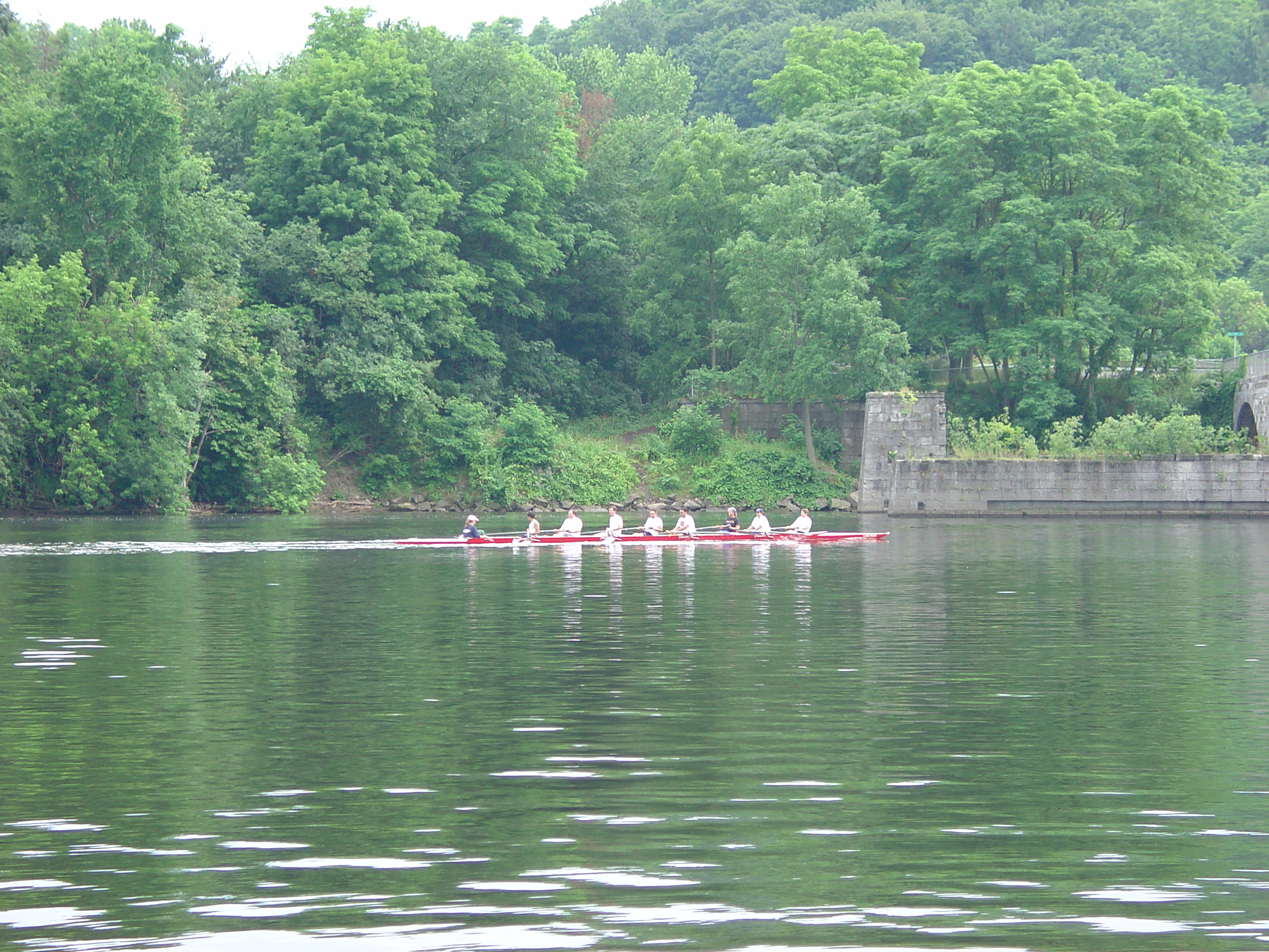
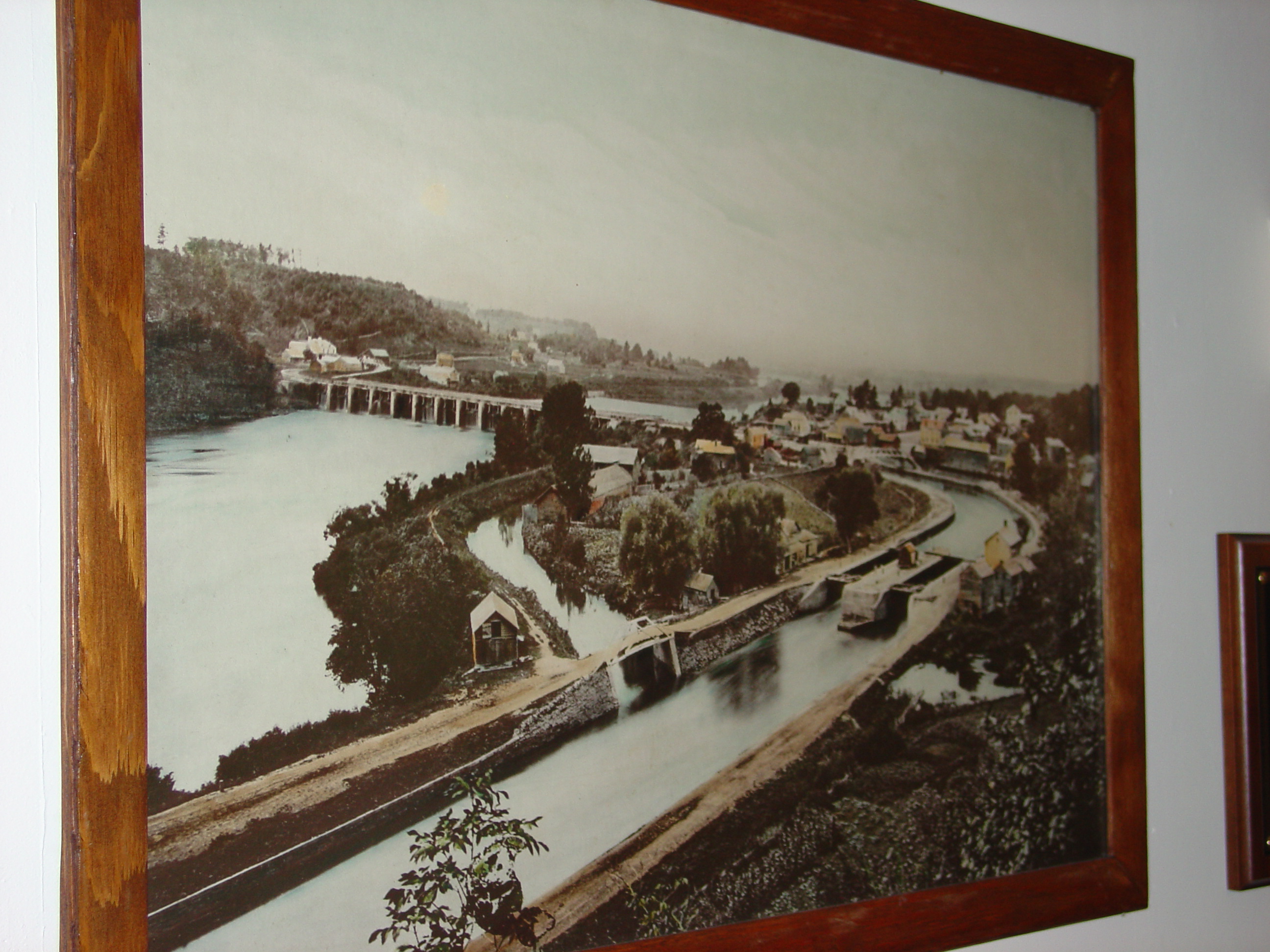
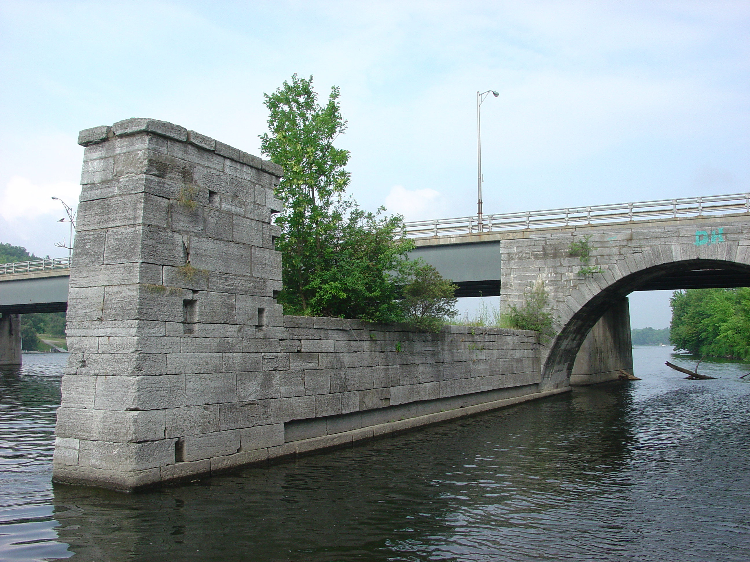
We stayed at the Schenectady Yacht Club which is built among the ruins of the old canal and aqueduct. (Call ahead for reservations if you want to stay there.) The picture with the rowers shows the remaining aqueduct on the south side. Our boat was docked directly east of the two aqueducts in the pictures below. I had trouble picturing what it looked like until someone explained that it was not symmetrical. The West wall supports were arches to block the ice flow from the west while the east supports were just rectangular. The low section was the bottom of the aqueduct and wood with a U-shaped cross section fit between the stone supports on the low section that formed the bottom. This was filled with water and carried the barges. There is a old picture in the yacht club that shows how the original canal and aqueduct ran. There were two pairs of locks in the picture, one in the foreground on the right and a second pair near the aqueduct. The second pair were visible in the yacht club parking lot as lumps while part of the first pair are still used by the yacht club for their travel lift and are pictured below.
The yacht club has full facilities including a pool and laundry which we took advantage of. About the only thing missing here is a restaurant, but there is a Stewarts convenience store a short walk down the road where supplies can be purchased and grills that can be used.
The people I met here were very friendly and helpful. One gentleman, after I started asking alot of questions about what is a terminal and will it be located on the left or right side of the canal, was kind enough to lend me his personal copy of the "2001 Cruising Guide to the New York State Canal System" for my trip west allowing me to return it on my way home 3 weeks later.
I had tried to get a guide at Waterford as they were still being published before departure. I spoke to several of the volunteers at the Waterford visitor center, but most of them referred me to 8x11 sheets of stapled pages of text or diagrams and only one seemed to know what I was talking about. They said that they weren't available that they knew of.
After seeing it, this guide is in chart format with information about lock travel times, locations of terminals, marinas, and sights in towns providing much more detail than chart 14786 of the New York State barge Canal System and, although you will still need the chart for the larger lakes, the guide is a "must have" for trips along the rivers and canals. At $29, it is a real bargain.
John, the same gentleman that lent me the guide also showed me around the club house and grounds and explained the history of the canals. There were some early improvements in the rivers in the 1790s. Early attempts to build in the rivers were unsuccessful. In 1817 amid much opposition, the state began building the canal system referred to as Clinton's ditch. Clinton was the governor of NY at the time. The first canal was built as a ditch outside of the rivers because the technology didn't exist to build with them inside at this point. The original canals were 4' deep and 40' wide. The canals were expanded several times until the third expansion in the 1900s when the technology existed to go back into the rivers for sections of the canal. This was called the Erie Barge Canal.
Today, the barge canal is called the New York State Canal System. It is run by the New York Canal Corporation, a subsidiary of the State Thruway Authority. (You noticed that Erie Champlain canal sign resembled the Thruway signs?) Today, the locks support a 44' 1/2 width, a 300' length, and a 12 foot depth. It is interesting that the system has been engineered so that the dams and gates in the river can be opened so that the river reverts back to its natural levels. This was done partly so that they could not be sued for flood damage as any flooding in that state would have occurred anyway.
While we were eating dinner, some local teenagers began jumpping off the right aqueduct support into the water. Later they went up to the higher archway and began jumping off of that. It took some time before they managed to work up the courage/foolishness to jump but eventually many of the guys and gals had made the plunge.


| FIRST | PREVIOUS | NEXT | LAST |
| BACK | HOME | ||
Comments can be mailed to the Webmaster at: webmaster@seamoss.dhs.org